

Key Takeaways
- Michigan's Lower and Upper Peninsulas each offer distinct landscapes, from dunes to waterfalls.
- Wisconsin's Door Peninsula is a compact destination with limestone cliffs, orchards, and lake access.
- Lake Superior's southern shore in the Upper Peninsula is remote, cold, and dramatically scenic.
- Ohio and Indiana have Great Lakes shorelines that most travelers overlook entirely.
- The region's travel seasons vary sharply, and some destinations close or slow significantly in winter.
The Great Lakes region
The Great Lakes region refers to the area surrounding the five freshwater lakes, Superior, Michigan, Huron, Erie, and Ontario, shared by the northern United States and Canada. For American travelers, it covers portions of Minnesota, Wisconsin, Michigan, Indiana, Ohio, Illinois, Pennsylvania, and New York. The region combines freshwater coastline, dense forests, farmland, and mid-size cities into one of the most geographically varied domestic travel zones in the country.
Together, the five lakes hold roughly 21 percent of the world's surface fresh water by volume, making the region ecologically distinct from any other part of the continental US.
Why the region is larger than most travelers realize
Chicago is an obvious entry point to Great Lakes travel. It sits on Lake Michigan, has a major international airport, and is well-documented. But the lake itself stretches 307 miles north from Chicago, and the full five-lake system covers more than 94,000 square miles of water surface. Most travelers using Chicago as their mental anchor for this region are working with an incomplete map.
The Great Lakes region functions more like several distinct travel destinations stacked together than a single coherent zone. The dune country of northwestern Michigan looks nothing like the rocky Lake Superior shoreline in the Upper Peninsula. Wisconsin's dairy farmland Door Peninsula differs from the industrial-era harbor towns of Ohio's Lake Erie coast. Understanding that range is the starting point for planning any trip that goes beyond the familiar.
Slow travel through the Midwest is one approach that suits the Great Lakes well. The region rewards travelers who stay in one sub-area long enough to notice its character rather than checking landmarks off a list.
Michigan's two peninsulas
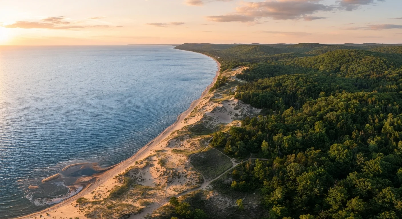
Michigan is physically split into two peninsulas by the Straits of Mackinac, and each half has its own character. The Lower Peninsula's western coast along Lake Michigan holds Sleeping Bear Dunes National Lakeshore, where sand dunes rise 400 feet above the lake surface. The town of Traverse City is a base for winery visits and bay access. Smaller harbor towns like Leland and Suttons Bay are compact enough to cover in a day but distinctive enough to justify staying longer.
The Upper Peninsula, connected to the Lower by the Mackinac Bridge, is less visited and more remote. Pictured Rocks National Lakeshore runs along Lake Superior's southern shore, where sandstone cliffs in shades of orange, red, and green drop directly into cold, clear water. Tahquamenon Falls, one of the largest waterfalls east of the Mississippi, is inland from the Superior shore and draws far fewer visitors than comparable natural features in western states.
Plan around lake-effect weather
The eastern and southern shores of the Great Lakes receive heavy lake-effect snow in late fall and winter, particularly in areas downwind of Lakes Superior, Michigan, and Erie. If you are visiting between November and March, check conditions before traveling and confirm that your intended destinations are open. Some state parks, ferry routes, and smaller towns operate on reduced schedules or close entirely outside the main season.
Wisconsin and Minnesota along the northern lakes
Wisconsin's Door Peninsula juts into Lake Michigan between Green Bay and the open lake. The peninsula is about 75 miles long and contains state parks, limestone cliffs, cherry orchards, and small fishing villages. Peninsula State Park is one of the most visited state parks in Wisconsin, but the surrounding towns of Fish Creek, Ephraim, and Sister Bay each have their own pace. Ferries run from the tip of the peninsula to Washington Island, adding a layer of access for travelers willing to go farther.
Minnesota's North Shore of Lake Superior runs from Duluth northeast to the Canadian border at Grand Portage. This stretch has a different feel from Michigan and Wisconsin: the lake is colder, the forest denser, and the elevation changes more abrupt. Split Rock Lighthouse State Park and Gooseberry Falls State Park are well-documented stops, but the towns between them, like Two Harbors and Grand Marais, are worth spending time in for their own reasons.
The overlooked shores of Ohio and Indiana
Indiana Dunes National Park sits on Lake Michigan's southern shore, just an hour from downtown Chicago. The park has 15 miles of beach and a range of ecosystems compressed into a small area, from bogs to oak savannas to active dunes. It became a national park in 2019, which brought more visibility, though it remains far less crowded than comparable parks in other regions.
Ohio's Lake Erie shoreline is associated in many travelers' minds with industrial cities, but the western basin of Lake Erie and the Lake Erie Islands are a different experience. South Bass Island, reachable by ferry from Port Clinton, has a small-town character at odds with its proximity to Cleveland and Toledo. The Marblehead Lighthouse, Ohio's oldest operating lighthouse, sits on a peninsula that most out-of-state travelers have never heard of. The region is genuinely distinct from the rest of what travelers picture when they think about the Great Lakes, and that gap represents real opportunity.
For context on how other US regions deliver layered travel experiences, the Deep South travel guide shows how geography and history interact in a different part of the country.