

Key Takeaways
- Rushing PCH in a weekend means skipping the state parks, small towns, and viewpoints that define the route.
- Fog, traffic, and seasonal road closures affect different segments in different ways throughout the year.
- Treating the highway as a backdrop rather than a destination is the most common mistake drivers make.
- Planning overnight stops inland or in less-visited towns can dramatically change what you experience.
- The route rewards flexible itineraries far more than tightly scheduled day-by-day plans.
What the highway actually is
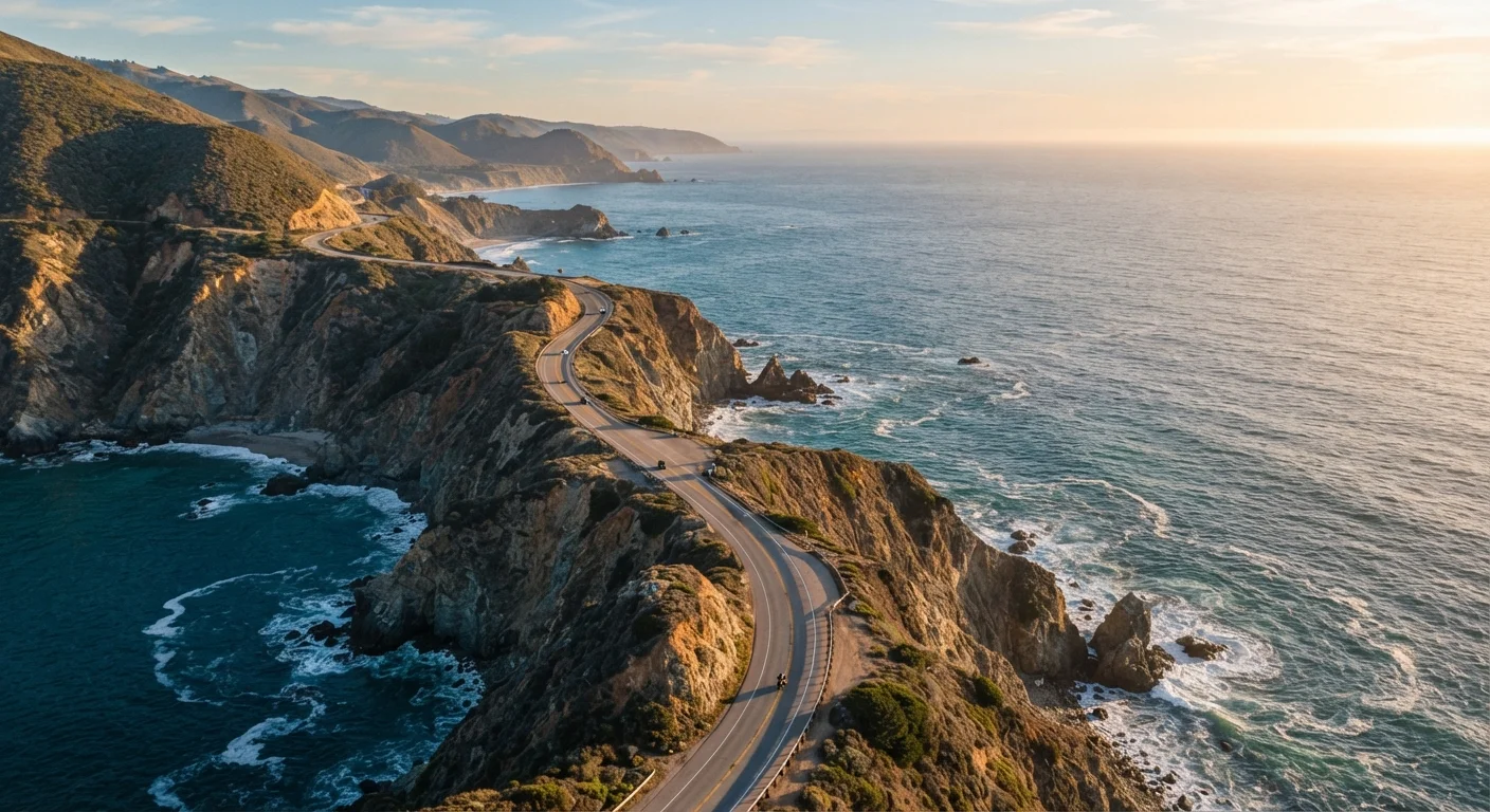
California's State Route 1, commonly called the Pacific Coast Highway or PCH, runs approximately 656 miles along the California coastline. Sections of it pass through heavily urbanized corridors near Los Angeles, while others cut through federally protected lands where you may drive 20 miles without a gas station. The character of the road shifts constantly: wide open through Big Sur, congested near Malibu, gentle and agricultural near Cambria.
Most people approach it as a single unified experience, a scenic drive to knock off a list. That framing causes most of the mistakes below.
Common mistakes drivers make on PCH
Understanding what goes wrong for most travelers is the most direct way to plan something better.
Trying to drive the full route in one or two days.
Why it happens: Many travelers underestimate the mileage and overestimate the speed of travel. PCH has speed limits as low as 25 mph through towns, and frequent pullouts, construction zones, and RV traffic all slow progress.
Skipping inland detours because they feel off-route.
Why it happens: The name 'coastal highway' creates a mental frame of staying on the water at all times. Drivers feel that turning inland breaks the experience.
Ignoring seasonal and weather-related road closures.
Why it happens: Online itineraries and travel content rarely flag closures because they are written as evergreen content. Travelers assume the road is always passable.
Treating every stop as a photograph opportunity rather than a place.
Why it happens: The visual drama of PCH is well-documented on social media, which conditions travelers to seek specific viewpoints rather than exploring what surrounds them.
Booking all accommodations in the most well-known towns.
Why it happens: Names like Monterey and Santa Barbara are easy to search and book. Less-known towns like Cambria, Morro Bay, or Gualala are not top-of-mind for most planners.
For a sense of how PCH compares to other domestic road-trip corridors in terms of pacing and planning demands, see our first-timer's guide to Southwest road trips.
Timing, fog, and road conditions
Big Sur closures are real and recurring
Landslides and storm damage have closed portions of Highway 1 through Big Sur for extended periods. These closures are not always well-publicized by travel content. Before planning any itinerary that relies on driving through Big Sur, check the official Caltrans site for current road status. Do not assume a route is passable based on outdated articles or trip reports.
California's coastal weather is not uniform and does not follow a simple summer-is-best logic. June and July bring heavy marine layer fog to the central and northern coast, particularly in the mornings, which can make sections of the drive both visually flat and hazardous. September and October tend to deliver clearer skies with lighter traffic. Winter brings the risk of landslides and temporary closures, especially in Big Sur, where the cliffs are geologically active.
Before driving, check Caltrans road condition reports for current closures. Some closures in Big Sur have historically lasted months. Always verify current access rather than assuming a planned segment is open. This applies equally to general road-safety preparation for any long coastal drive.
What slowing down actually looks like
Committing to three or more days for even the central segment between San Luis Obispo and Carmel allows time to stop at places most drivers photograph from the car window. Elephant seal viewing areas on the San Simeon coast, the tidepools at Fitzgerald Marine Reserve, or the redwood groves accessible from Highway 1 via short inland spurs are all reachable on foot, without a permit or reservation in most cases.
Travelers who prefer a dramatic outdoor comparison might find it useful to read our piece on the Mountain West versus the Pacific Northwest before finalizing a West Coast itinerary.
Travel conditions, road access, and site availability change. Verify current status with the California Department of Transportation and land management agencies before your trip.